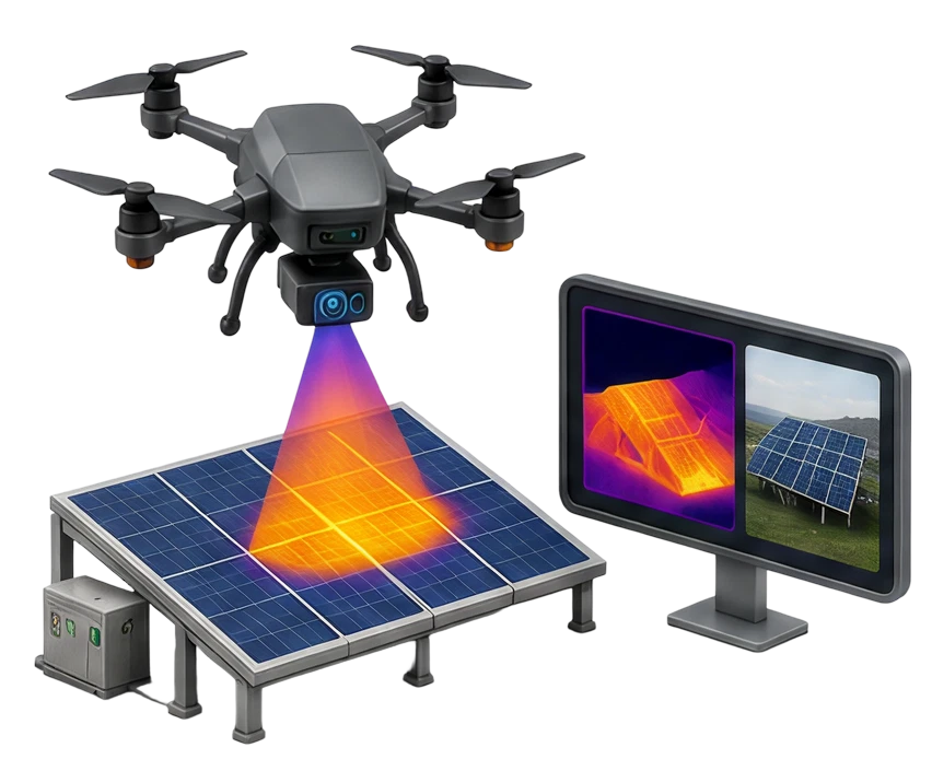
Drone Inspection Services
Detect defects across solar panels, transmission lines, wind turbines and industrial assets without manual climbs or shutdowns.
Lesoko Technologies delivers drone-based inspection, surveying and aerial intelligence for solar, power and infrastructure projects across India.

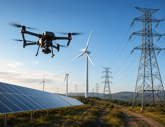




























Every service below covers the full cycle: flight planning, data acquisition, in-house processing and final reporting configurable for a single asset audit or a recurring pan-India monitoring program.
Detect defects across solar panels, transmission lines, wind turbines and industrial assets without manual climbs or shutdowns.
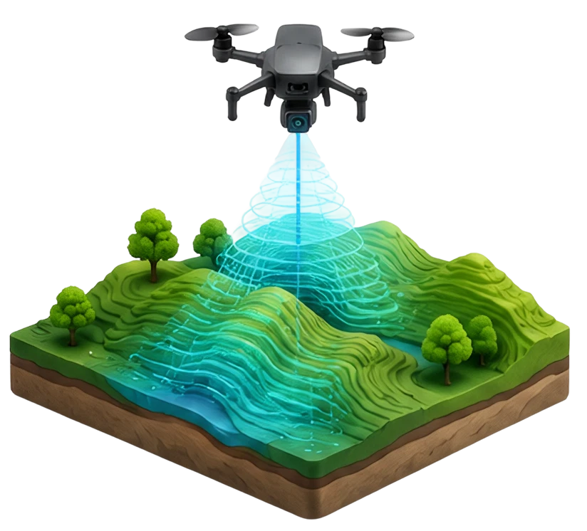
Build survey-grade orthomosaics and terrain data for engineering, planning and design teams.
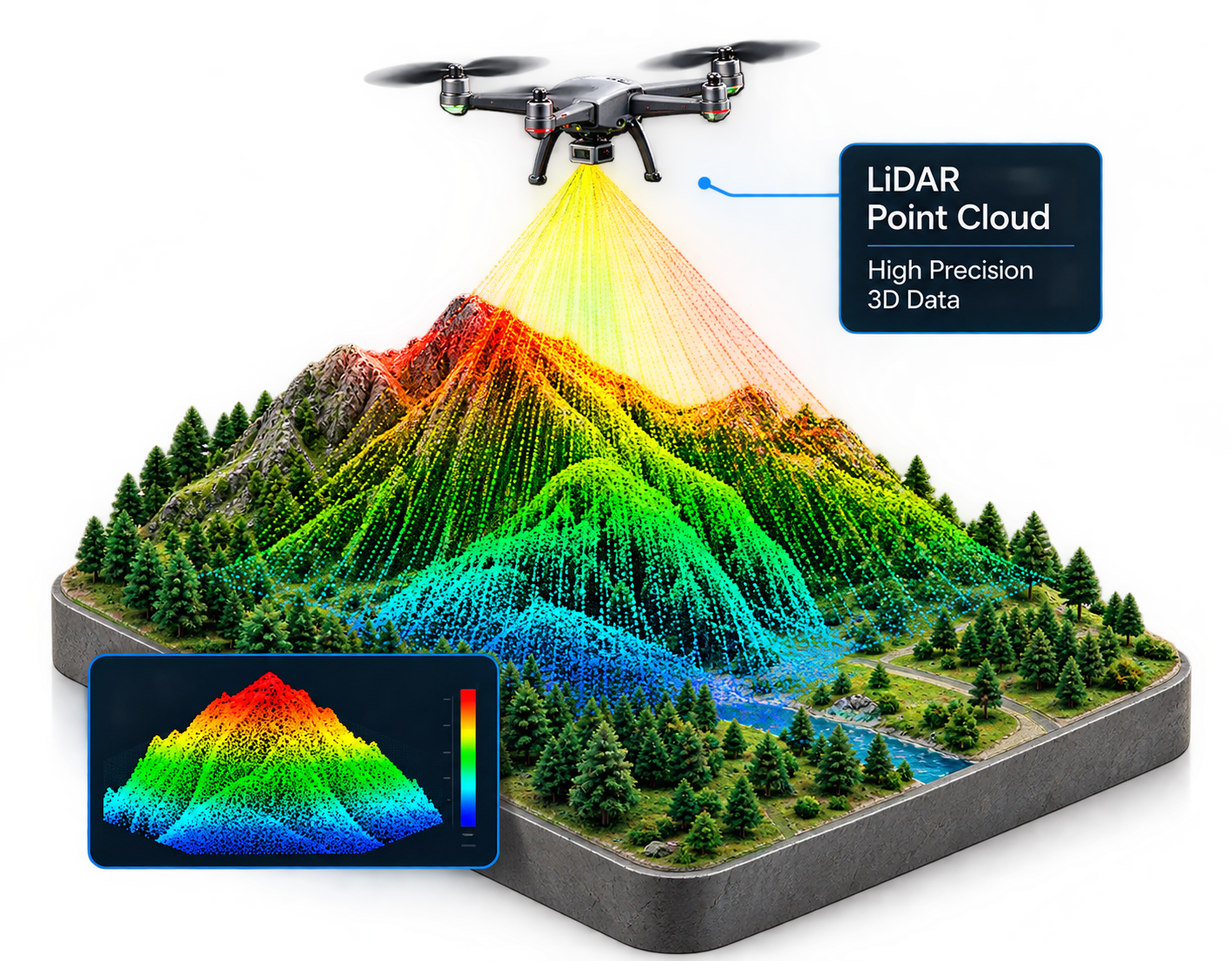
Capture bare-earth terrain under dense vegetation for reliable grading, drainage and infrastructure design.
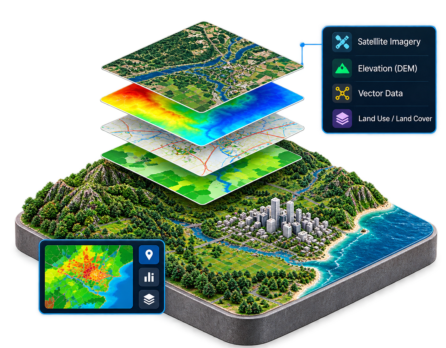
Clean, classified spatial layers ready for your existing GIS database.
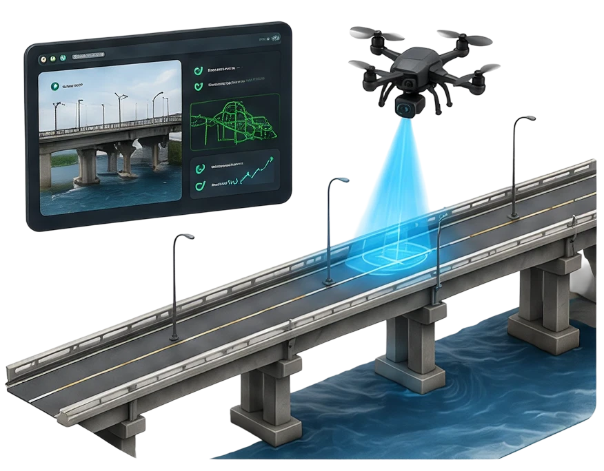
Verify real construction milestones for stakeholders without a single site visit.
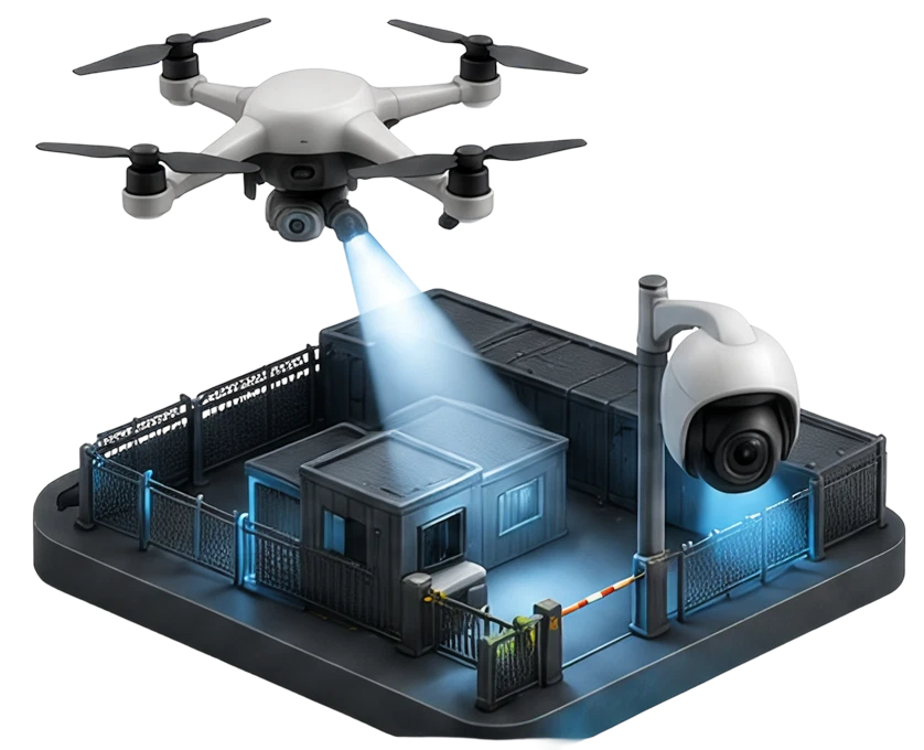
Remotely supervise site activity and safety compliance across remote or hazardous assets.
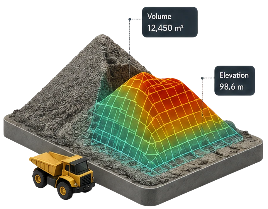
Measure material movement accurately enough to support inventory control and billing.
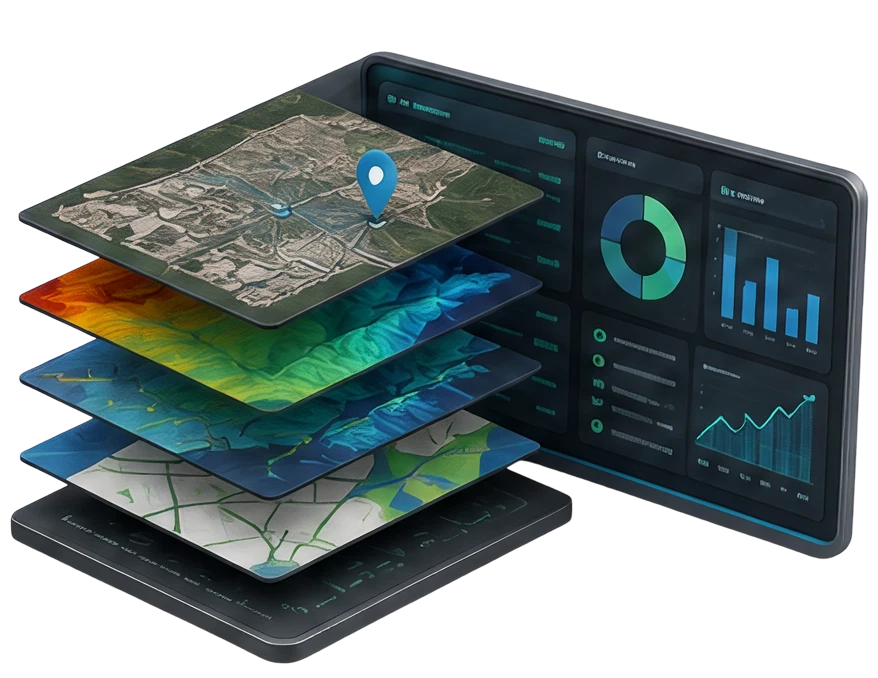
Turn raw aerial into 3D models and hi-Res imagery for marketing, planning and documentation.
Drag each slider to see the same site move from raw aerial capture to an engineering-ready deliverable.
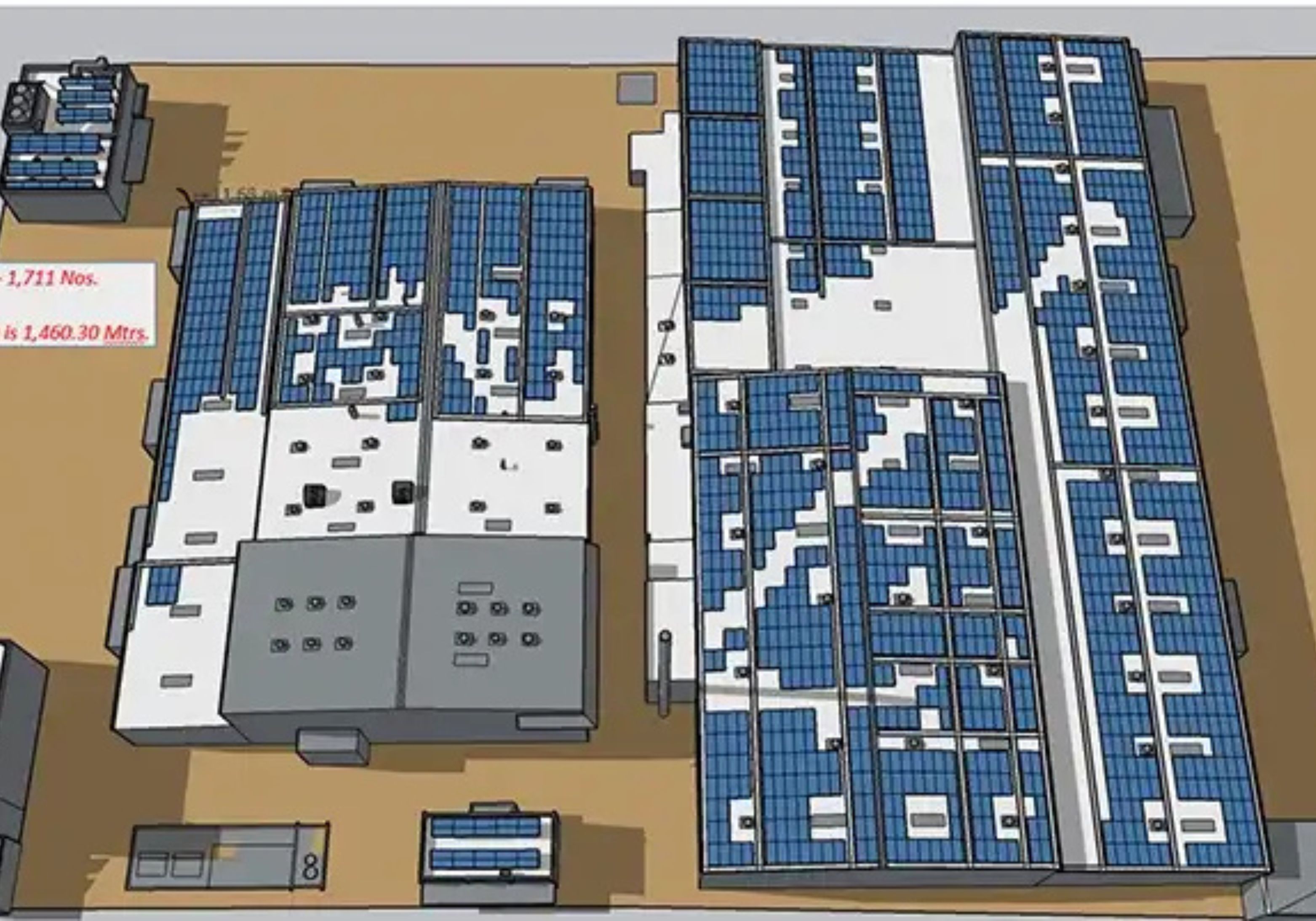 AUTOCAD 2D/3D
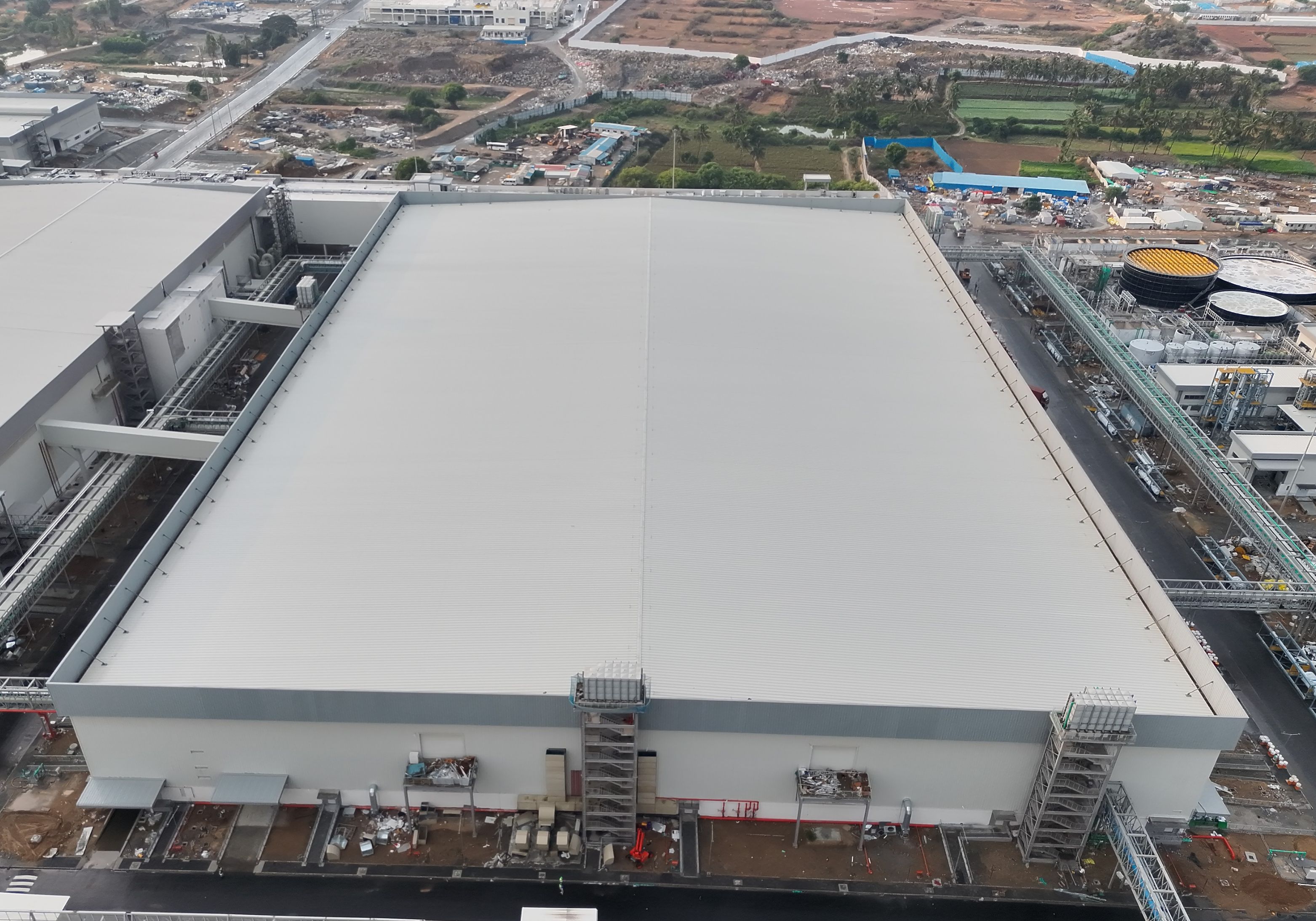 RAW AERIAL DATA
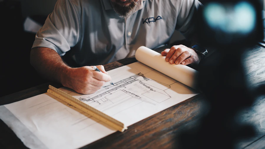
High-overlap RGB imagery becomes a CAD-ready site model for structural and foundation design.
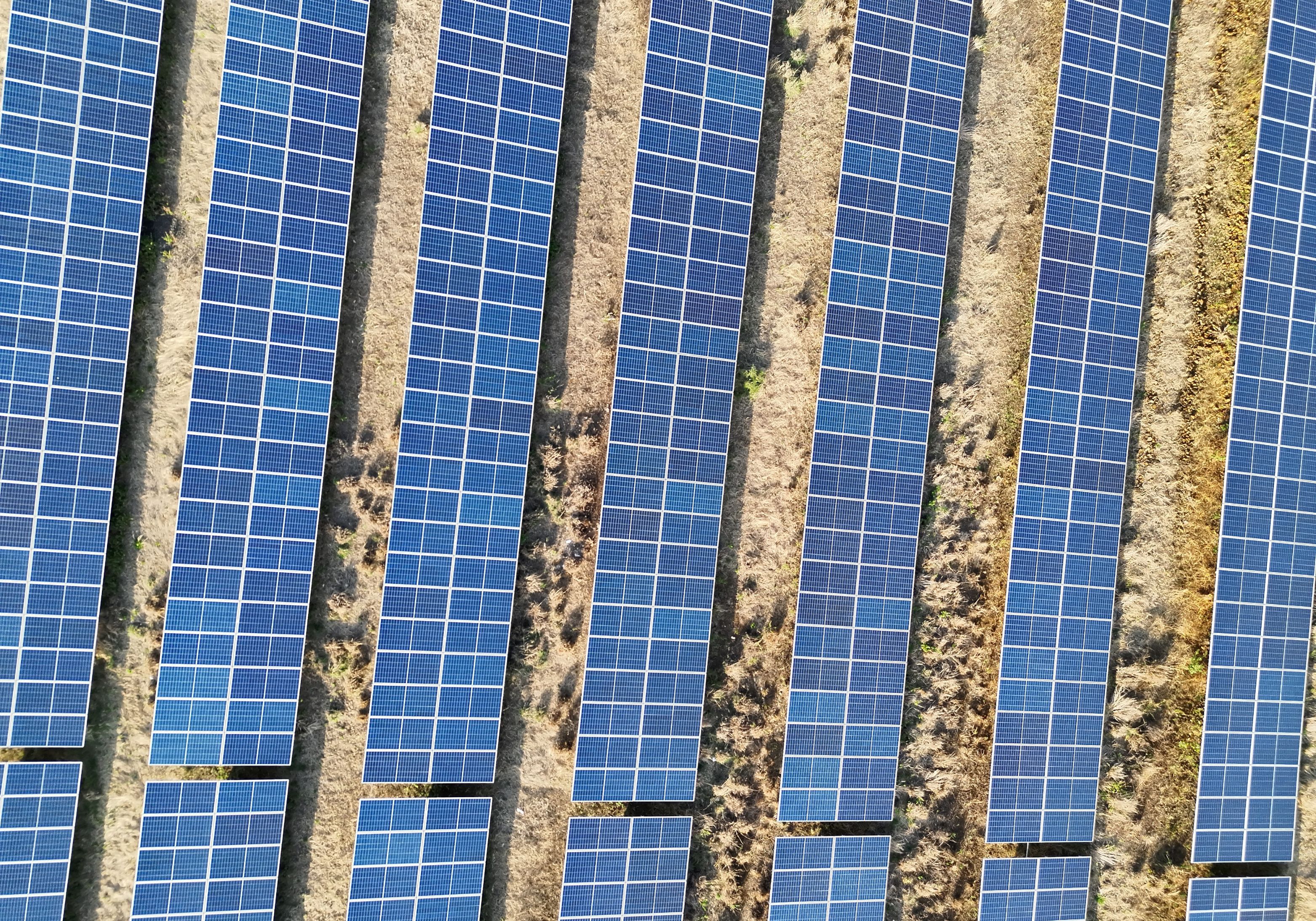
 TAGGED DEFECT MAP
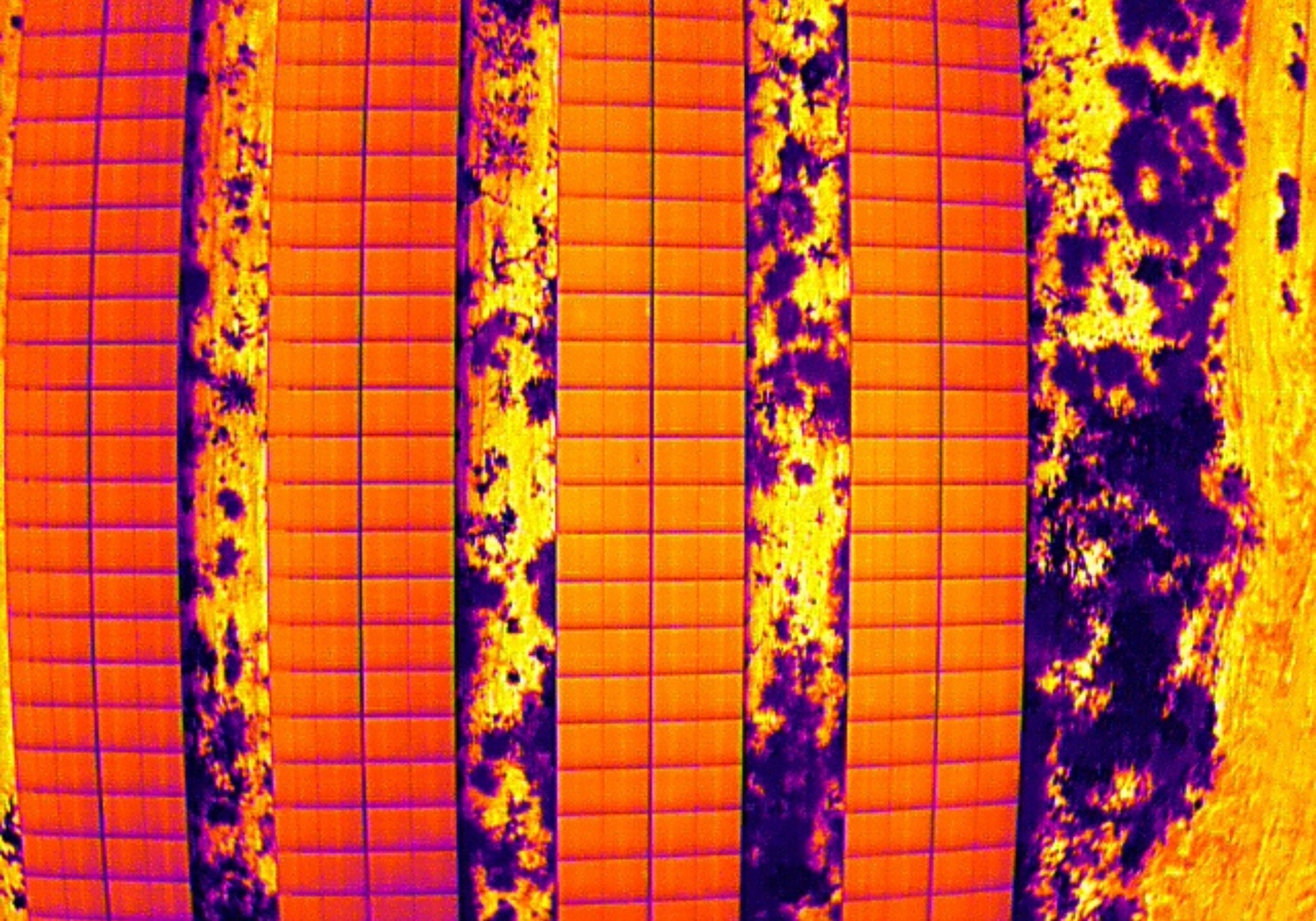
 THERMAL IMAGERY
Radiometric captures resolve into an interactive dashboard defect list, ready to dispatch.
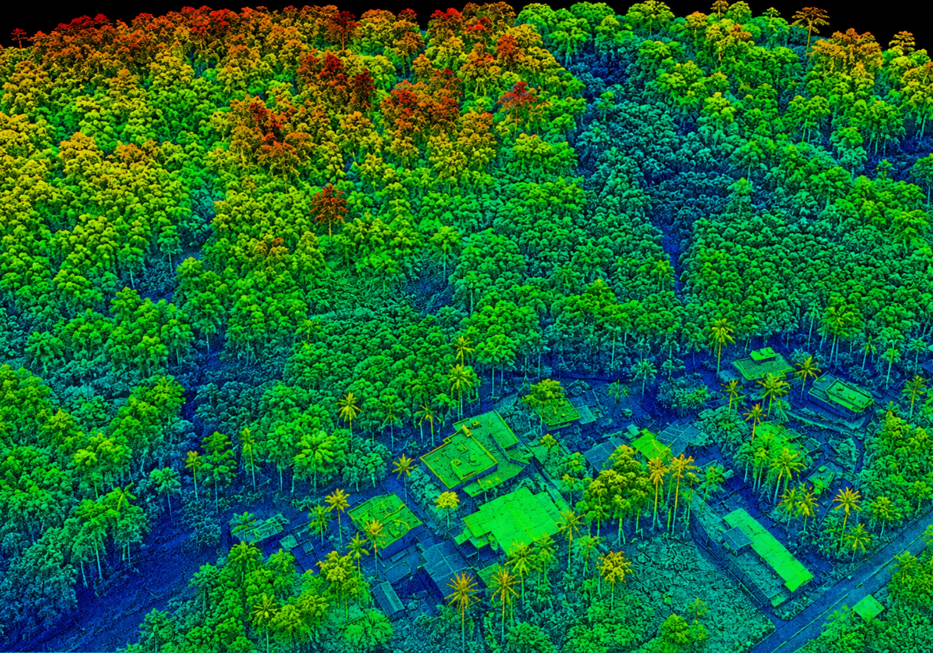 DEM & CONTOURS
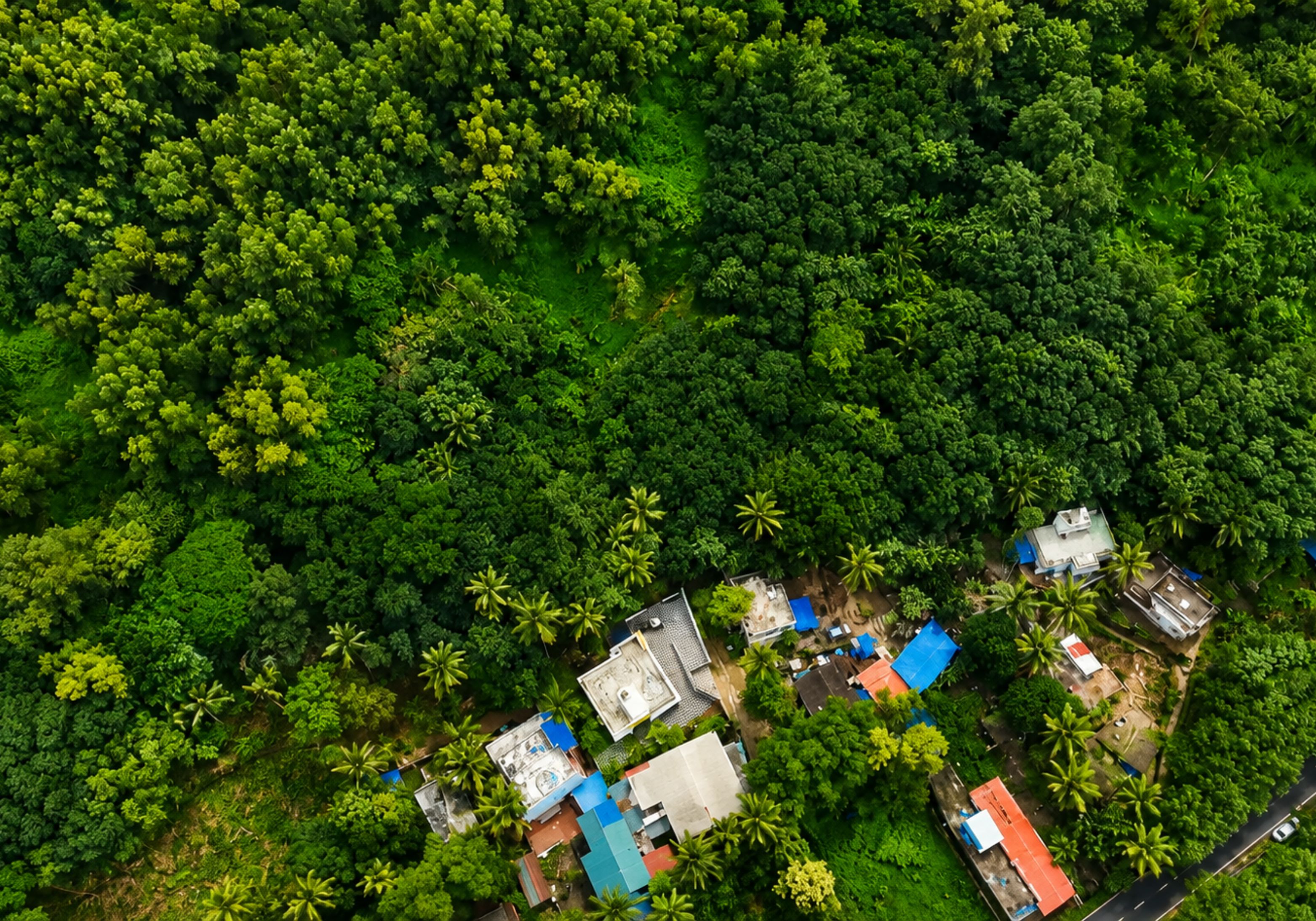 LIDAR TERRAIN DATA
Dense laser returns are classified and filtered into a bare-earth model at 0.1m contour intervals.
Every project moves through the same accountable workflow — planned, executed and quality-checked within one in-house team.
Define objectives, site conditions, accuracy needs and required outputs.
Flight planning, sensor selection, safety assessment and airspace verification.
Acquire RGB, thermal, LiDAR or other required data using the planned mission.
Convert raw data into orthomosaics, models, measurements and inspection datasets.
Check coverage, accuracy, positioning and data completeness against requirements.
Provide structured reports, maps and geospatial outputs your team can use.
A sample of documented Lesoko field projects.

Locate underperforming modules across ~1,90,476 panels.
Radiometric thermal + RGB capture across the full plant footprint.
Interactive dashboard defect list with panel-level status.
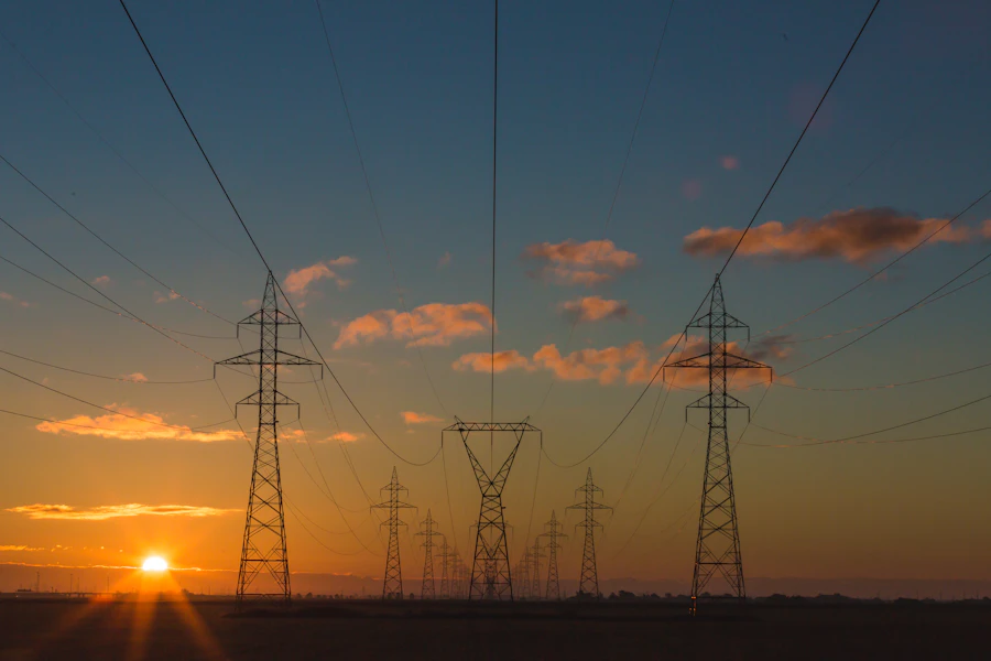
Identify missing insulators and thermal hotspots on live towers.
Close-range RGB and thermal capture, tower no. 18 and corridor.
Component-level defect report with criticality tagging.
Detect blade anomalies without halting turbine operation.
High-resolution close-pass RGB blade survey, per-anomaly ID tracking.
Interactive dashboard defect list with panel-level status.
We show you the deliverable — because that's what your engineers, GIS leads, and O&M teams need to increase productivity.
Thermal and visual inspection of solar plants, turbines, towers and industrial assets resolved to component-level defects.
Raw geospatial data, translated into executive summaries, KPIs, defect registers and maps


"Lesoko has been our trusted drone services partner for engineering surveys and thermal inspections across our solar plants. Their AutoCAD 2D/3D deliverables are accurate and well-structured, and their reports have been invaluable for our design and O&M planning."
"We've worked with Lesoko across rooftop surveys, topography mapping, and solar thermal inspections. Their team consistently delivers accurate data and detailed reports, with the clarity and technical expertise to ensure smooth execution on every project."
"Lesoko's drone inspections consistently catch module hotspots and string failures before they escalate. Their reports are clear and well-structured, and their 24/7 support has made them a trusted partner for our solar assets year after year."
"Working with Lesoko has been a privilege from day one. Their team is highly professional, responsive, and technically sound, with clear communication and quick turnarounds that consistently helped us meet client expectations."
"Lesoko has been our trusted drone services partner for engineering surveys and thermal inspections across our solar plants. Their AutoCAD 2D/3D deliverables are accurate and well-structured, and their reports have been invaluable for our design and O&M planning."
"We've worked with Lesoko across rooftop surveys, topography mapping, and solar thermal inspections. Their team consistently delivers accurate data and detailed reports, with the clarity and technical expertise to ensure smooth execution on every project."
"Lesoko's drone inspections consistently catch module hotspots and string failures before they escalate. Their reports are clear and well-structured, and their 24/7 support has made them a trusted partner for our solar assets year after year."
"Working with Lesoko has been a privilege from day one. Their team is highly professional, responsive, and technically sound, with clear communication and quick turnarounds that consistently helped us meet client expectations."
Everything you need to know about our drone inspection and aerial intelligence services.
Talk to our team →Lesoko provides a structured, engineering-focused workflow designed around accurate aerial capture, analysis and useful project deliverables.
Lesoko provides a structured, engineering-focused workflow designed around accurate aerial capture, analysis and useful project deliverables.
Lesoko provides a structured, engineering-focused workflow designed around accurate aerial capture, analysis and useful project deliverables.
Lesoko provides a structured, engineering-focused workflow designed around accurate aerial capture, analysis and useful project deliverables.
Lesoko provides a structured, engineering-focused workflow designed around accurate aerial capture, analysis and useful project deliverables.
Tell us what you need to survey, inspect, monitor or
measure — an engineer will follow up with next steps.